


ECO-LIFE
protect, preserve and promote natural resources through technology and engagement

Our Mission
We aim to address is the lack of transparency and accountability in the management of natural resources, wildlife, and water in Michigan. Despite the crucial role these resources play in our environment and communities, there is a gap in understanding their current state and the impact of human activities on them. This leads to unsustainable practices and the degradation of these valuable assets.
Eco-Life's goal is to bridge this gap of understanding and provide a platform for informed decision-making to promote sustainable resource management in Michigan.
Topographical MAp

A topographical map that offers basic information about different counties when hovering the mouse over them.
Users may click to gain more statistics and insights into the wildlife and ecology of the area
The user may select what year and wildlife population to monitor in the top left. Then be given a heatmap based on that info.
County-Based Data

A page that allows the user to view statistics on animals and other ecology information from a given county
Users can select a type of data (Invasive Species, Tree, Animal, Plant, Disease) and generate info on it based on previous collected data
Graphs can be dragged and dropped from the right-hand of the screen to visualize the data and trends in the county's ecosystem
Ecosystem Predictions

The Ecosystem Simulation page will allow the user to model future events that could happen in the county based on previously gathered data while utilizing Machine Learning.
The main simulations that will be used are: Predicting animal population trends by the number of hunting permits sold, Ecology affects from harvesting a certain amount of trees, and simulating how fast diseases could be spread through wildlife.
Meet the Team

Jared Dunham
I'm a senior at Central Michigan University. I enjoy Cycling, Reading, and anything outdoors. I helped with the early design stages of the app and throughout its life cycle.
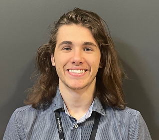
Jack Tadych
I’m a phycology and computer science student at central Michigan. I enjoy Photography, bread making, and coming up with new pizzas. I was involved in the presentation's planning and early design stages, explicitly contributing to developing the user interface's initial appearance.

Mohid Imran
I am a 1st-year student at Michigan State University studying Computer Science. I am enthusiastic about the great outdoors and fitness. I contributed to the early stages of development and the design process.

Adebola Fagade
I am a sophomore at Wayne state university. Currently studying computer science, I enjoy sports, gaming, and music. I helped create the website as well as the presentation of our project.